About Terrascope Africa
We combine satellite analytics, ground penetrating radar, and robotic inspections to safeguard your assets with precision and care.
30+
5
Trusted Partners
Clients Served
About us
Terrascope Africa specializes in advanced geospatial mapping and subsurface utility detection, providing critical infrastructure intelligence across the African continent. Our cutting-edge technology and local expertise enable safe, efficient project execution.
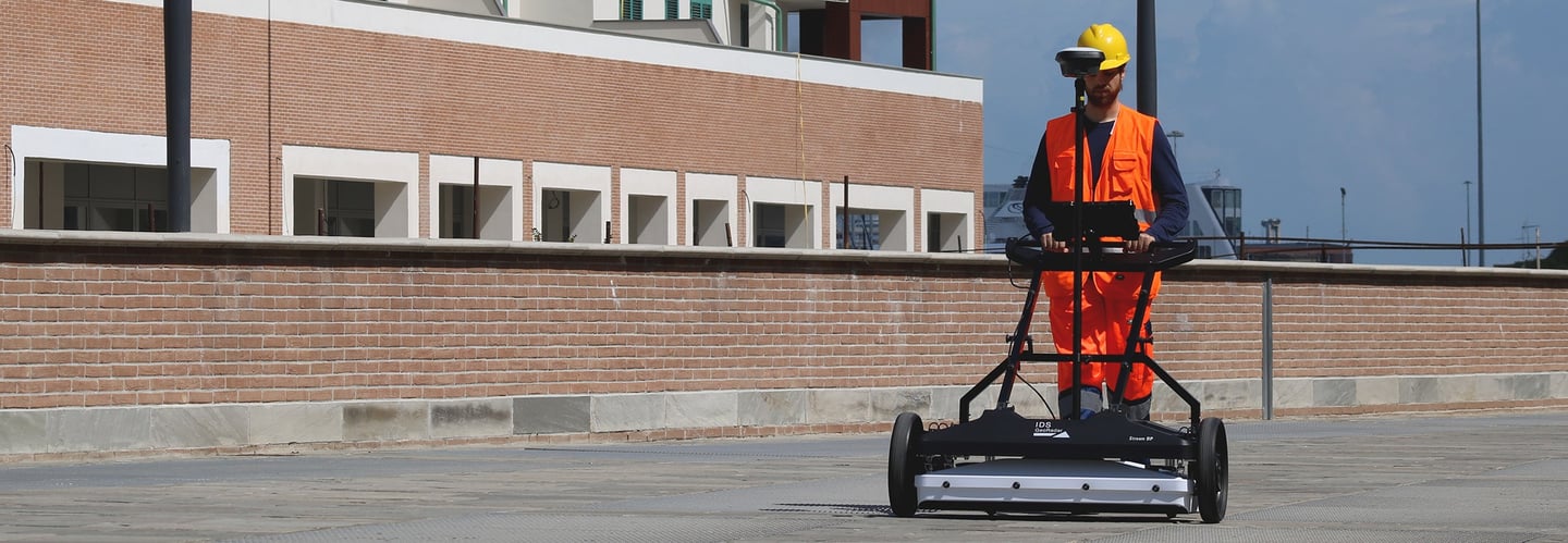
We also combine state-of-the-art ground-penetrating radar, robotic inspection systems, and 3D imaging technology to deliver unprecedented clarity about what lies beneath the surface. Our solutions prevent costly mistakes, protect critical infrastructure, and ensure project safety.
With over 7 years of experience and operations across 20+ African countries, we understand the unique challenges of infrastructure development in diverse environments. Our team brings together international technology standards with deep local knowledge.
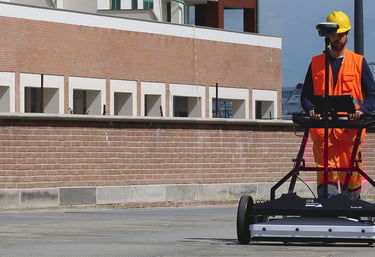
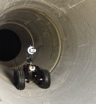
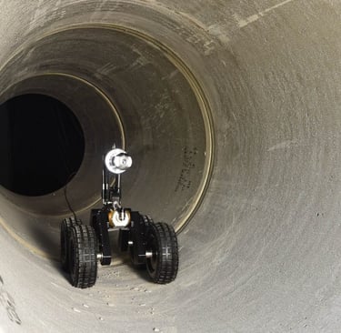
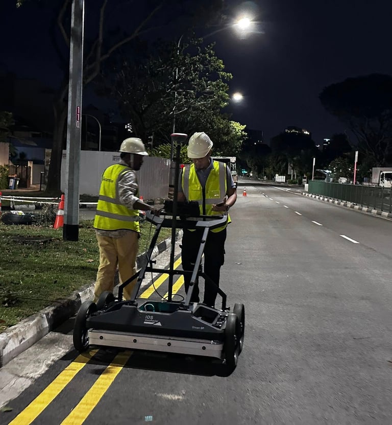
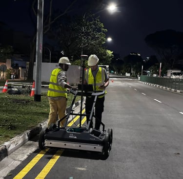
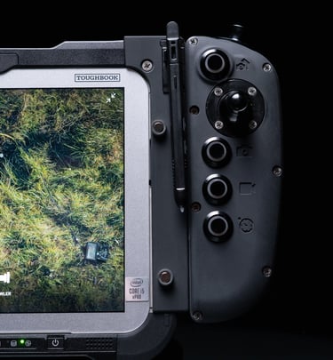
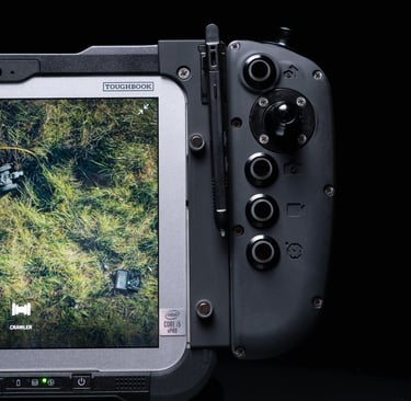
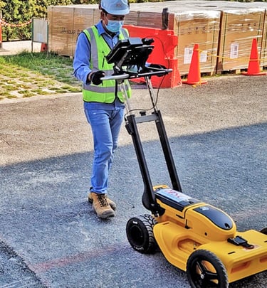
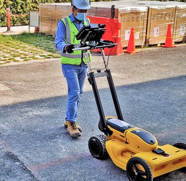
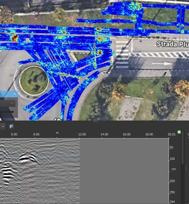
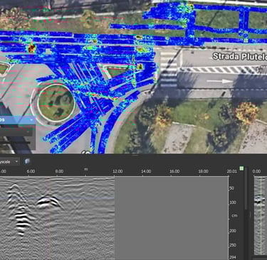
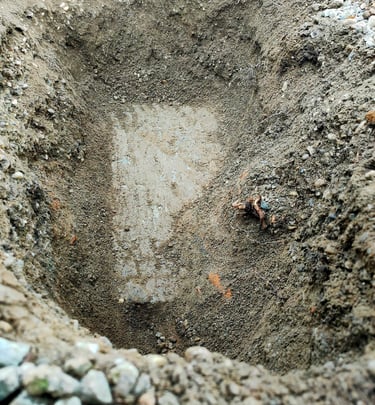
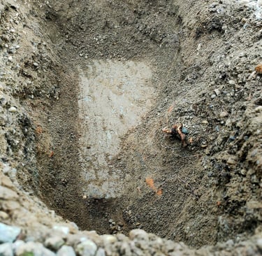
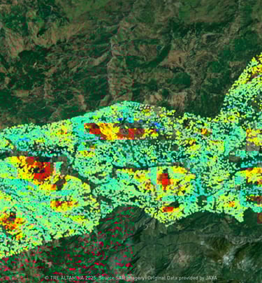
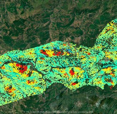
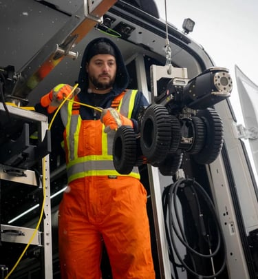
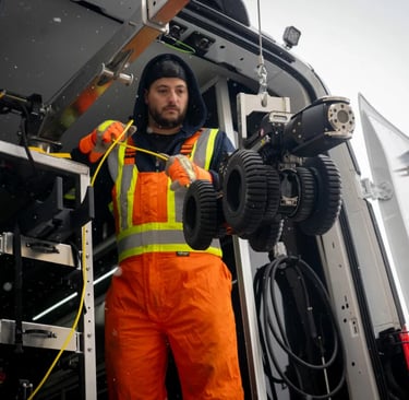
Gallery
Snapshots of our technology in action across Africa
FAQs
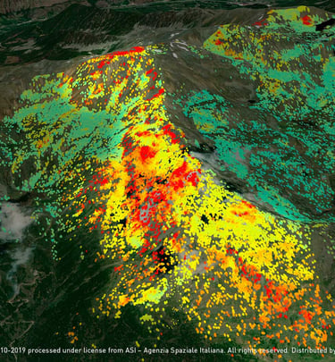
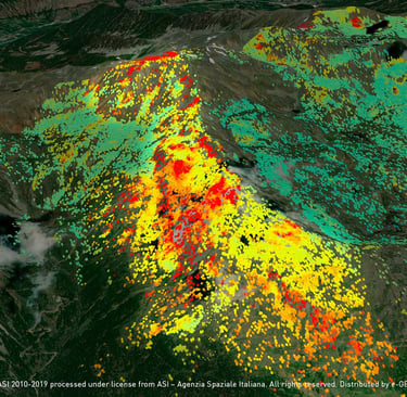
What is InSAR?
InSAR, or Interferometric Synthetic Aperture Radar, is a remote sensing technique that uses radar images from satellites to measure ground deformation with millimeter-level precision. It works by analyzing the phase difference between two radar images of the same area taken at different times, which reveals even tiny movements in the Earth's surface.
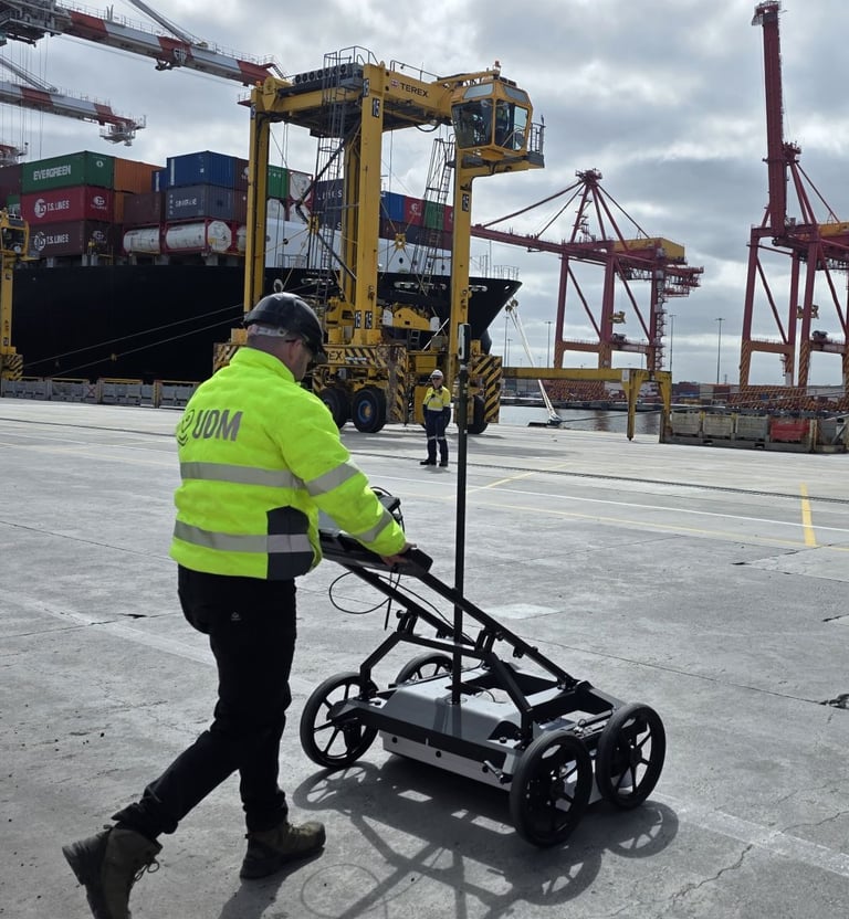
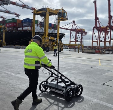
How does utility mapping work?
Utility mapping works by using a combination of non-invasive technologies like electromagnetic (EM) locators and Ground-Penetrating Radar (GPR) to detect, locate, and map underground infrastructure such as pipes and cables. Data from these surveys is then compiled into a detailed map using specialized software, sometimes integrating with existing Geographic Information Systems (GIS) and BIM models to create a comprehensive record of utility locations and depths.
What benefits do our robotic inspections offer?
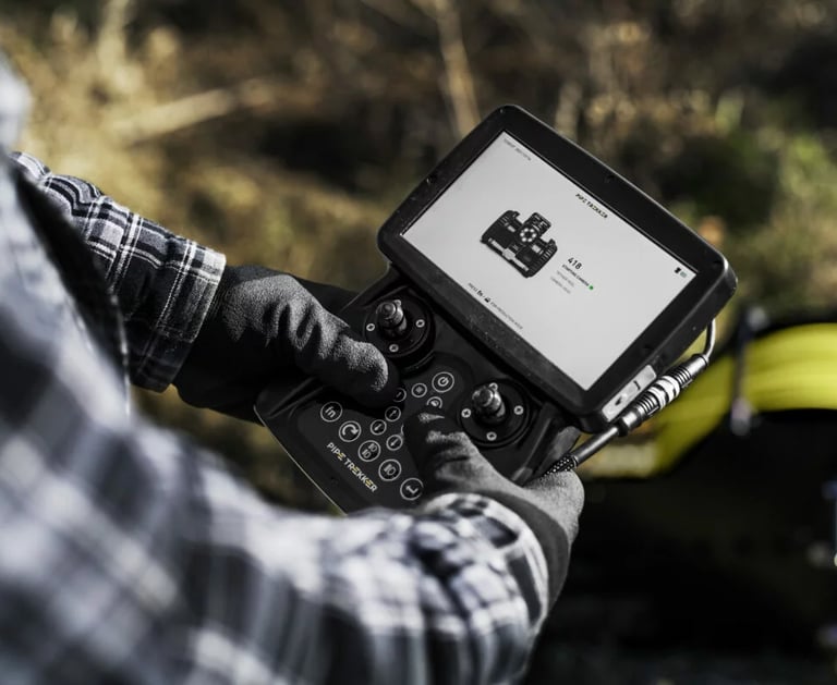
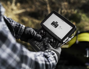
Our Deep Trekker crawlers inspect pipelines remotely, reducing risk and catching issues early. Robotic inspections offer enhanced safety, increased efficiency, improved accuracy, and cost savings. Robots can access hazardous or difficult-to-reach areas, perform inspections faster and more consistently than humans, and provide more precise data, ultimately reducing downtime and preventing costly failures.
Who can benefit from your services?
Organizations managing critical assets and infrastructure find our insights invaluable. Robotic inspection services primarily benefit industries that operate in hazardous, hard-to-reach, or complex environments where precision, safety, and efficiency are paramount. The key beneficiaries are companies, asset managers, and inspection service providers across numerous sectors.
How do you ensure data accuracy?
We combine advanced tech and expert analysis for precise, reliable monitoring results. Ensuring data accuracy from our inspection and monitoring services relies on a combination of advanced sensor integration, meticulous operational procedures, rigorous data processing and analysis, and utilizing tried and tested instruments and instrument providers.